When I first saw the three-foot long map of the entire Appalachian Trail sometime back in the 1990's, I thought it was the coolest thing ever. Many times I had hiked a small section of the trail from Iron Mountain Gap to the Nolichucky River in Erwin, Tennessee, and I always wondered about other sections of the trail. That map showed that there was a lot more to the AT than the southern Appalachians, and I yearned to wholly interact with that map by hiking the whole trail, which I did in 2000.
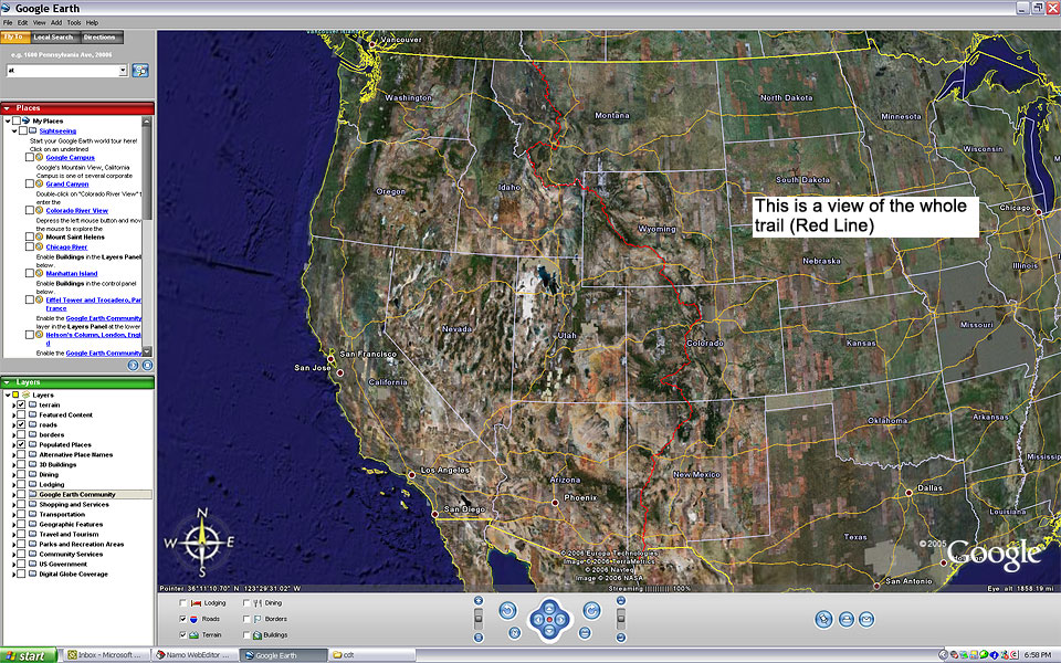
Recently, I been fascinated with the Google Earth map of the CDT on Phlumf.com. In fact, there are many more pictures of Google maps on this site that has me so freaking "geeked" about hiking the CDT. As I look at this map, I feel like a kid again, as I daydream about the lakes, streams, and mountains in Montana, Idaho, Wyoming, Colorado, and New Mexico.
I am posting my daydreams of the CDT on my trail journal. Please check them out, and feel free to sign my guestbook. Daydreams will eventually turn to reality! Check out this link of the map below and daydream with me.

No comments:
Post a Comment