Apparently the Continental Divide Trail has some of the same issues as the Pacific Crest Trail:
"Speaking of advocacy, thousands of acres in the Gallatin National Forest, including several epic sections on portions of the Continental Divide Trail, may soon be closed to mountain bikers. Forest managers are moving forward with a plan to designate the land as a wilderness area and off limits to bikes."
I found this snippet at Bicycling.com, where they seem hopeful that the area through the Gallatin National Forest will be designated a "National Protection Area," which would continue to allow bikes on the CDT. I am sure that there are some complex land use issues here (i.e. history, tradition), but I think the article is moot when it says: "[Patricia] Dowd added that an additional 1,300 miles of trails and roads were already open to bicyclists in the Gallatin."
What? 1,300-miles of trails and roads already open to cyclists? Why can't cyclists be content with that amount of open trail?
My hope is that the CDT follows similar rules as the Appalachian and Pacific Crest Trails and not allow mountain bikes on the trail. I am a cyclist myself here in San Francisco, and I recognize that there are some places where bikes do not belong like sidewalks, interstates and National Scenic Trails.
Wednesday, October 22, 2008
Sunday, October 19, 2008
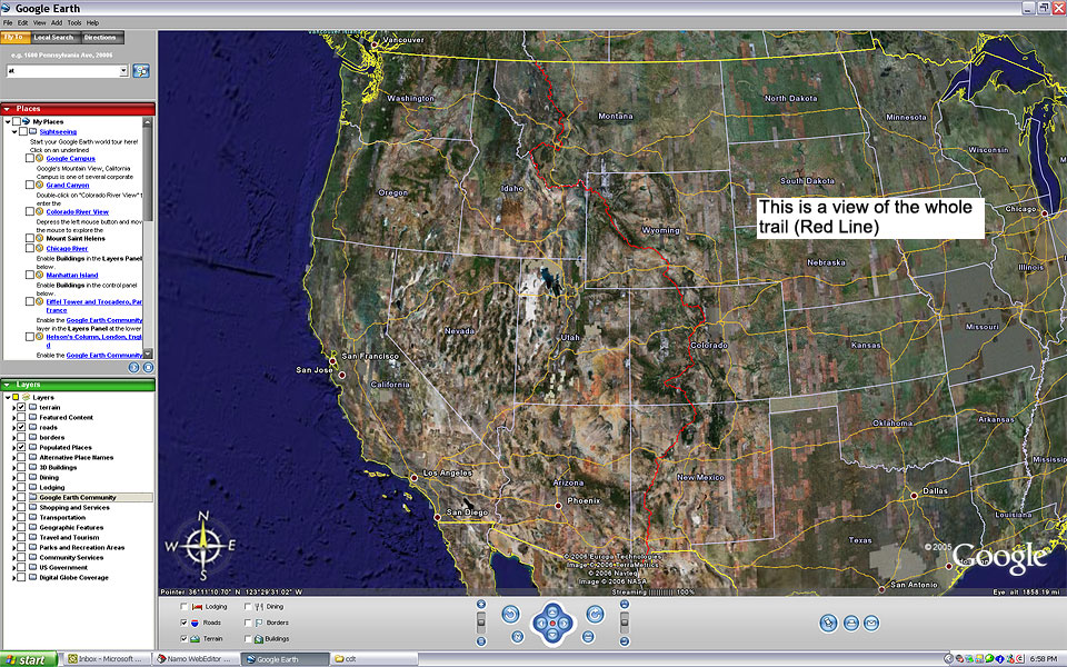
CDT Map on Phlumf.com
I am fascinated by maps. When I was a kid, I used to sit in a rocking chair and study the Time-Hammond world atlas, noting the locations of streams, lakes, and mountain ranges in places like Argentina or Madagascar. I always wondered how these places appeared.

When I first saw the three-foot long map of the entire Appalachian Trail sometime back in the 1990's, I thought it was the coolest thing ever. Many times I had hiked a small section of the trail from Iron Mountain Gap to the Nolichucky River in Erwin, Tennessee, and I always wondered about other sections of the trail. That map showed that there was a lot more to the AT than the southern Appalachians, and I yearned to wholly interact with that map by hiking the whole trail, which I did in 2000.
Recently, I been fascinated with the Google Earth map of the CDT on Phlumf.com. In fact, there are many more pictures of Google maps on this site that has me so freaking "geeked" about hiking the CDT. As I look at this map, I feel like a kid again, as I daydream about the lakes, streams, and mountains in Montana, Idaho, Wyoming, Colorado, and New Mexico.
I am posting my daydreams of the CDT on my trail journal. Please check them out, and feel free to sign my guestbook. Daydreams will eventually turn to reality! Check out this link of the map below and daydream with me.
Thursday, October 16, 2008
Weathercarrot's Photo Tribute to Gene Espy
Weathercarrot is back in the Bay Area after a successfully serving the 27th Annual Gathering of ALDHA as its presentation coordinator. We had a chance to catch up today over lunch and talk trail and life. It was sure good to see him.
Since my computer was the final staging area for putting together a photo tribute to Gene Espy, who is recognized as the second man to hike the Appalachian Trail, Weathercarrot gave me permission to upload the video to YouTube, and host it on my channel. I feel honored. Espy hiked the length of the AT in 1951, just three years after Earl Schaffer, and he is certainly another pioneer in the long-distance hiking community.
Props again to Weathercarrot for putting this video together with great care and reverence. Enjoy.
Sunday, October 5, 2008
Protecting the Pacific Crest Trail
A great article from Oregonlive.com on the pressing need for the funds to preserve the Pacific Crest Trail. Check it out here.
Subscribe to:
Posts (Atom)